
Kiwi Rider Podcast 2022 | E28
In this week's show, Ray talked us through his insurance win, we have
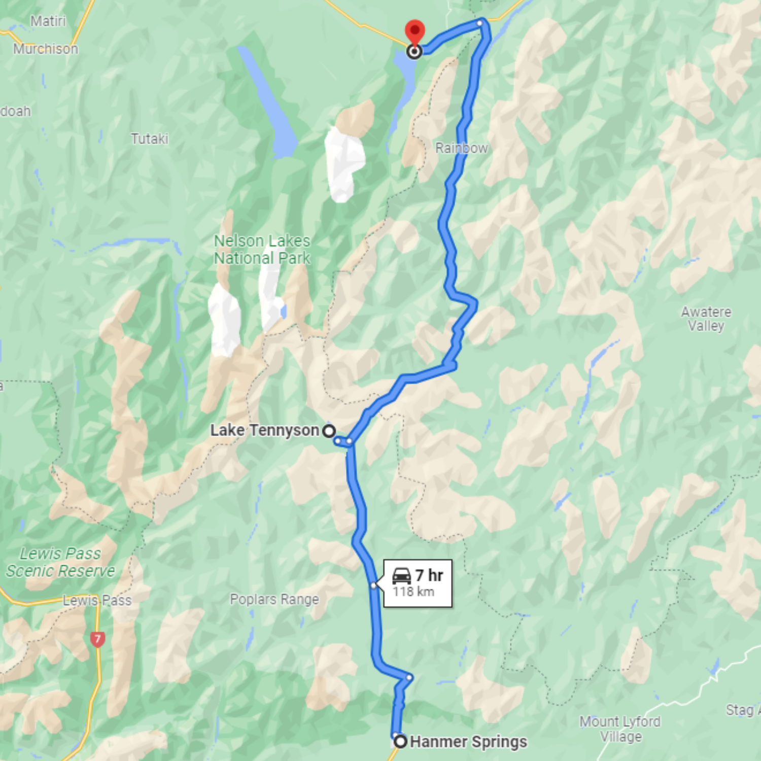
The Rainbow Station road is open from December 26th to Easter weekend each year. Essentially, it is a road running almost parallel to the Molesworth Station road, from Hanmer to St Arnaud
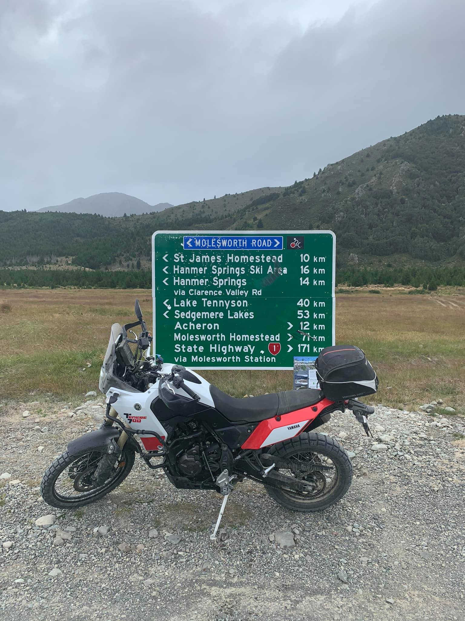
For a great round trip, couple the Rainbow Station Road, with the Molesworth, more info here.
Before we get stuck into this amazing road in the upper South Island of NZ, let me warn you. there is a toll gate on this road, which collects a fee from travelers. this money goes towards the upkeep of the road. Take cash.
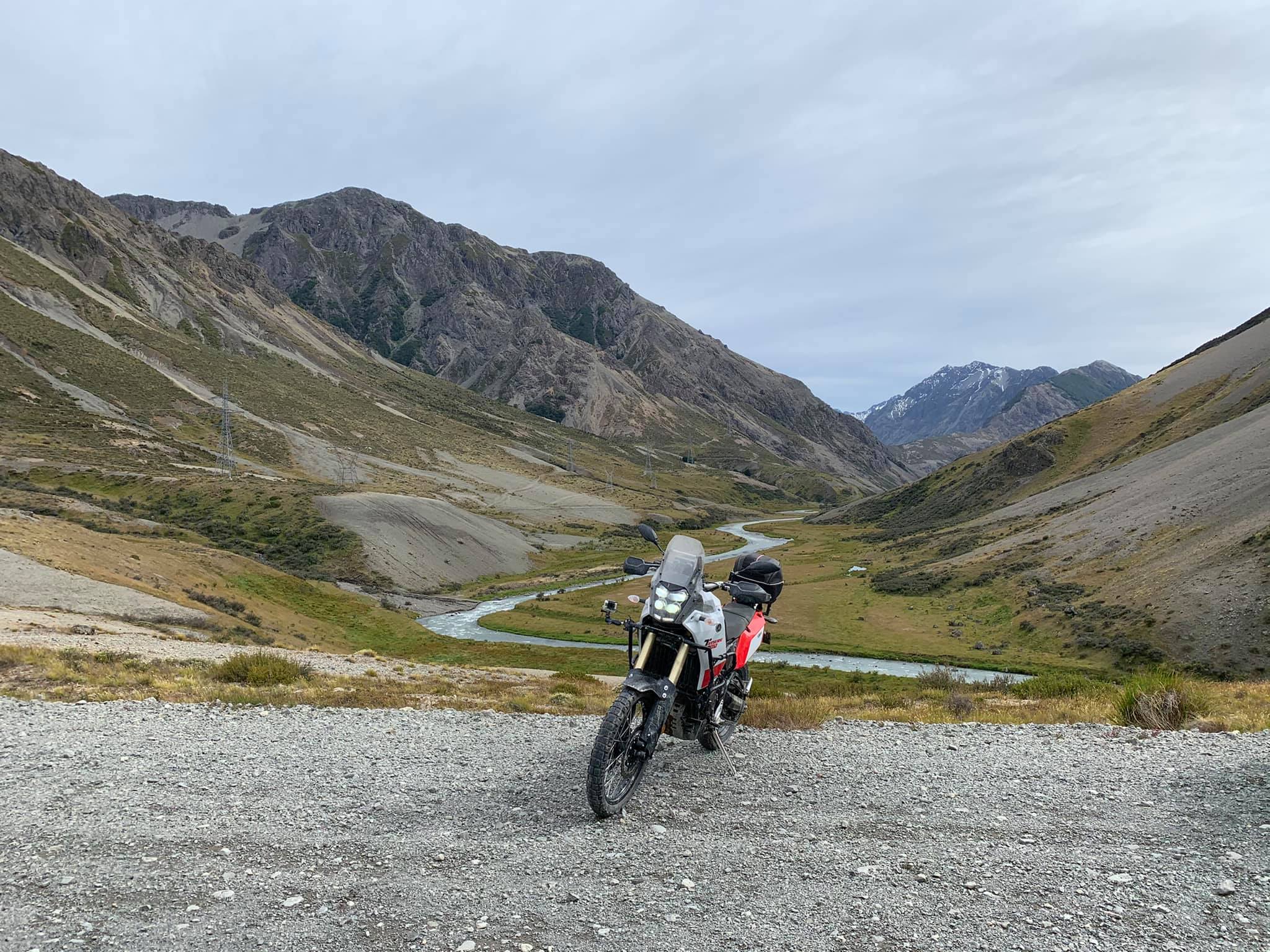
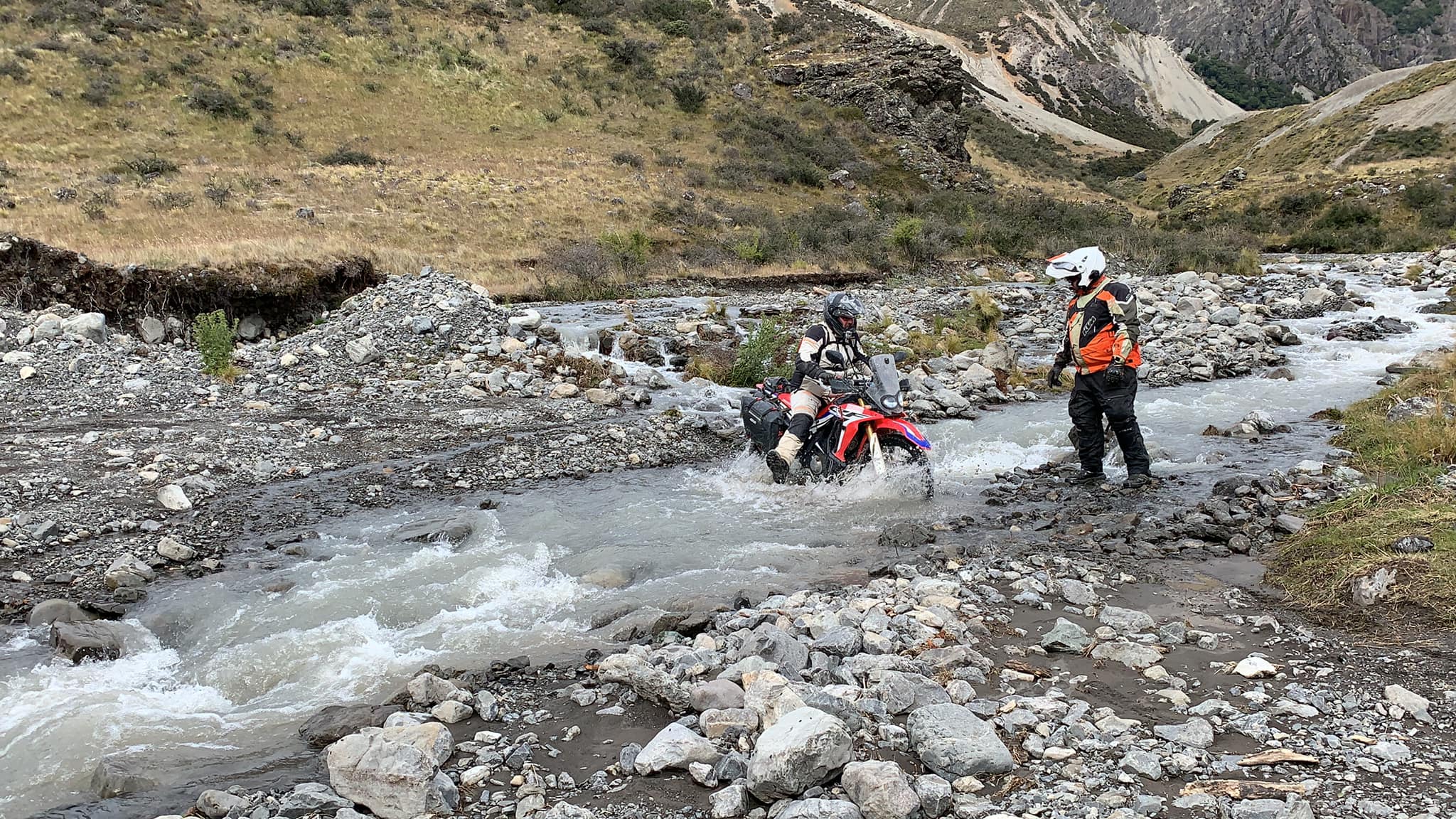
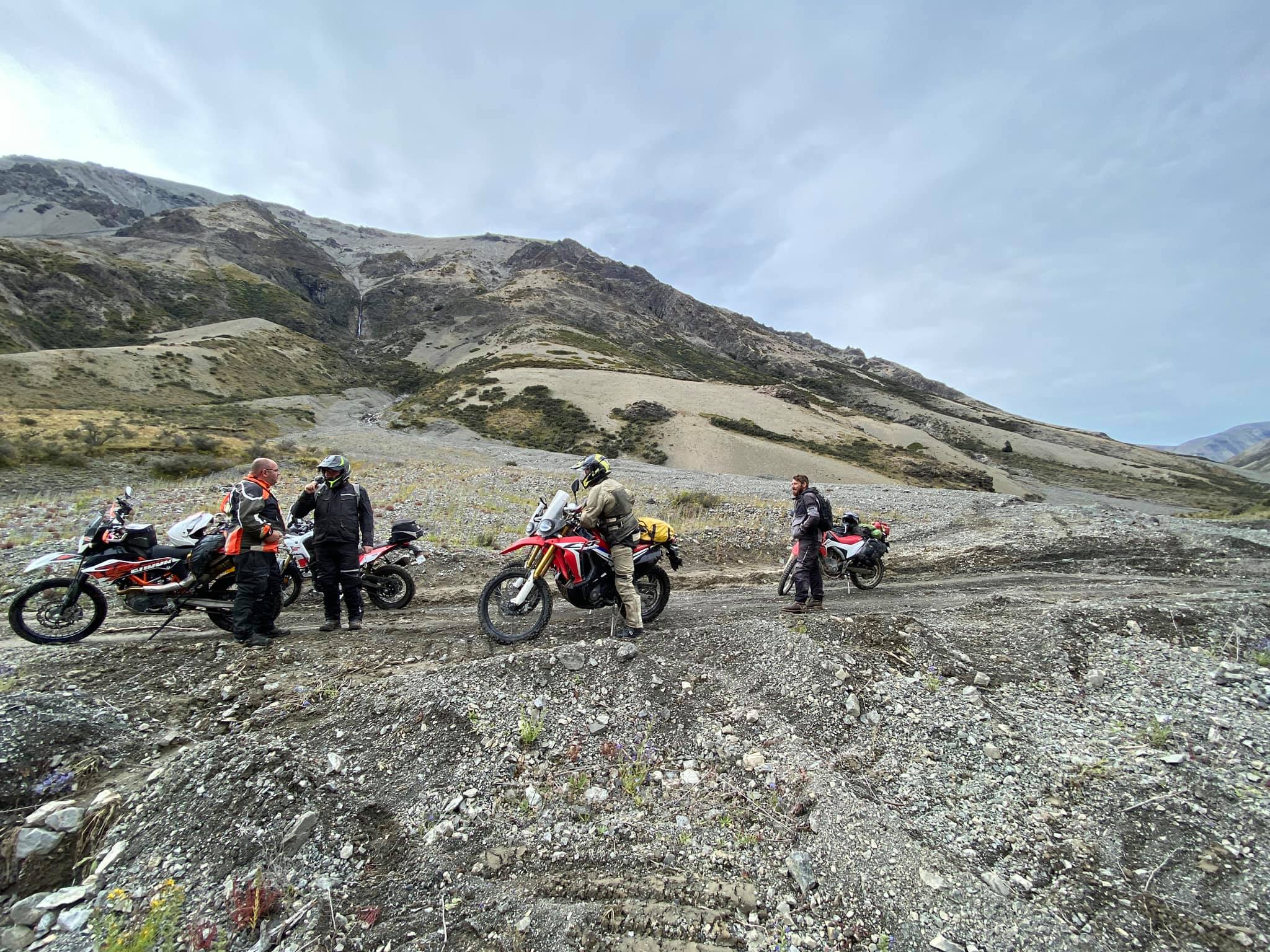
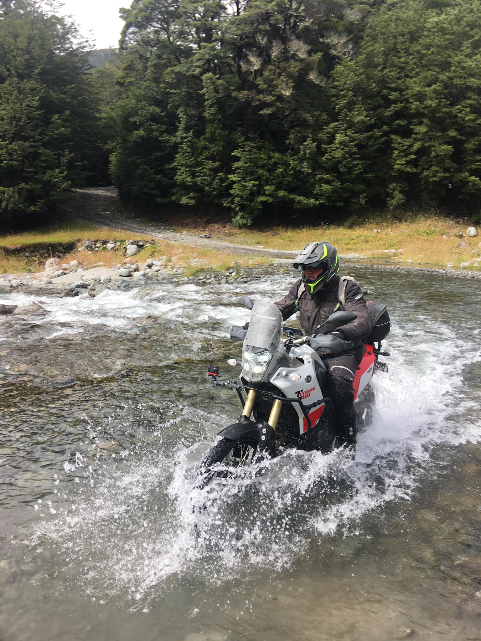
The Rainbow Station road is open from December 26th to Easter weekend each year. Essentially, it is a road running almost parallel to the Molesworth Station road, from Hanmer to St Arnaud. though be warned, the Molesworth is a walk in the park in comparison. The Rainbow Road feels much more remote, with many river crossings where no bridge is available. Depending on the weather and rainfall at the time, these could be quite high. We would recommend only attempting this with experienced adventure riders and never go alone.
Note: the following is taken from the DOC.govt.nz website, distances given are from Hanmer Springs to St Arnaud.
The Rainbow Road is a ‘wilderness driving’ experience across private land. The 112‑kilometre road from Hanmer to St Arnaud.
Allow at least three hours to drive from Hanmer to State Highway 63, on a road which crosses Rainbow Station courtesy of the runholder.
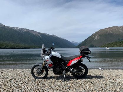
From Hanmer, the route follows the Clarence River along Molesworth’s boundary with St James Conservation Area to its origin at Lake Tennyson. After crossing the Alpine Island Saddle (1347 m), it follows the Wairau River through Molesworth and Rainbow Station to State Highway 63 near St Arnaud (85 km from Nelson/131 km from Picton via Blenheim).
Jacks Pass/Rainbow junction (8 km)
Jacks Pass opens the main route between Hanmer and St Arnaud, with Jollies Pass accessible only to 4WD vehicles.
This is a popular area for camping, with a shelter, toilets, and information panels about the history of rabbits and their management on Molesworth.
At 1347 metres, this alpine pass is the highest point on the Hanmer to St Arnaud route and is claimed to be the highest publicly accessible road in New Zealand. The pass straddles the boundary between Marlborough and Canterbury and is the watershed between the Wairau and Clarence Rivers.
Short and tall tussocklands occur on mountain slopes, with a mosaic of carpetgrass turflands and alpine plants on mountain crests.
Turk Ridge, Mt Balaclava, and the Crimea Range are among the names that date exploration of this area to the Crimean War in the 1850s.
The Sedgemere Lakes can be viewed from a short track off the road (walking/bicycle access only). Here you may enjoy an incredible summer display of the native gentian Gentianella corymbifera in flower.
Information about sheep and beef farming on Molesworth, Māori trails and explorers is displayed on panels in the shelter at the hut.
After crossing the bridge over Coldwater Creek, the road enters Hell’s Gate, a narrow gorge.
Outside the ski season, the 8 km skifield road is closed for vehicle access but open for walking. Alpine flowers, tarns and views are the summer attractions.
This is the front door of Nelson Lakes National Park. Food, petrol and a range of accommodation are available.
Below is a series of podcasts, of which episode 3 was recorded live during our trip up the Rainbow Station Road, early 2021.